Where does Fragas do Mandeo operate?
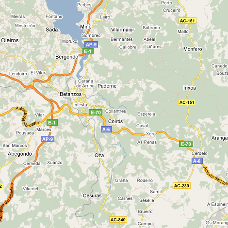
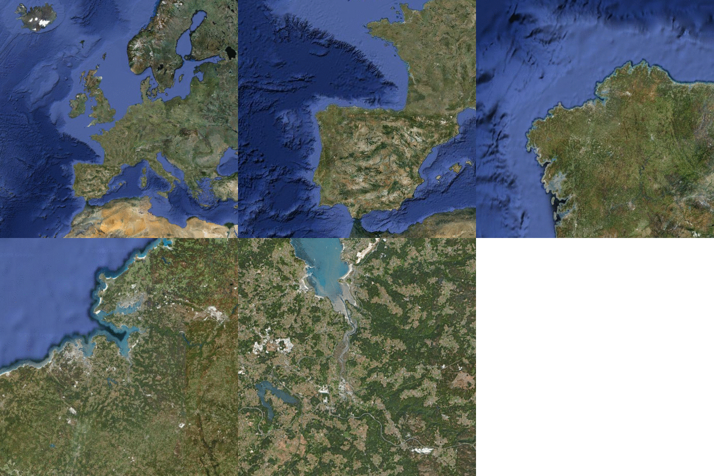
The limits of As Mariñas area are subject to debate, but the name is normally applied to the area of the A Coruña, Betanzos and Ares estuaries, within the gulf of Ártabro (Galicia, Spain). Inland, it would cover the lower basins of the Rivers Eume, Mendo, Mandeo and Mero. Eminently rural, the more important towns are Miño, Pontedeume, Sada and Betanzos, with Betanzos as the centre of economic and administrative activity in the district.
For the purpose of land stewardship activities of Fragas do Mandeo, the area comprises only the basins of the Rivers Lambre, Mandeo and Mero, and includes the municipalities of Abegondo, Aranga, Bergondo, Betanzos, Coirós, Curtis, Irixoa, Miño, Oza-Cesuras, Paderne, Sada and Vilarmaior. Sobrado dos Monxes, although physically separate, is also a focus of our activity.

To check out the map, visit Google Maps (opening on the same geographic point).

If you need more specific maps, in section Cartography you can find several types of interactive maps. It also allows access to topographic sheets scale 1:5.000 in PDF format that you can easily download and print.


